NASA has provided comparison images of the Missouri from space. The images differ by only a month and the change is pretty astounding.
Floods Advance Down the Missouri River -NASA Earth Observatory
Tuesday, June 28, 2011
Army Corp photos June 27th
US Army Corp of Engineers Flickr photostream:
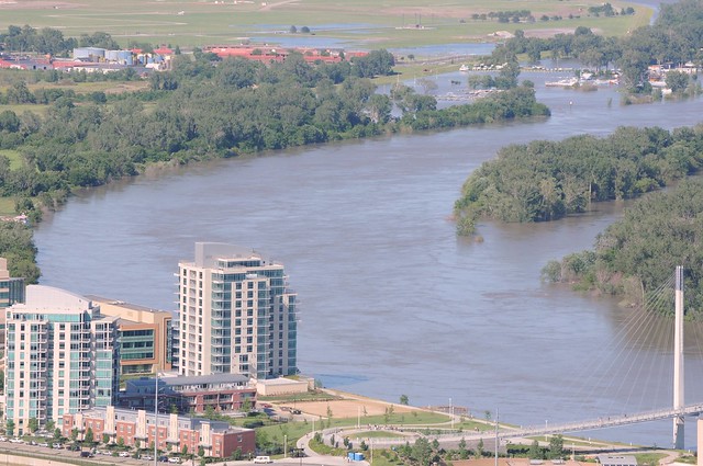
Missouri River at Omaha - June 27, 2011
Missouri River at Omaha - June 27, 2011
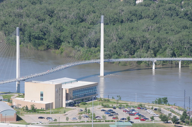
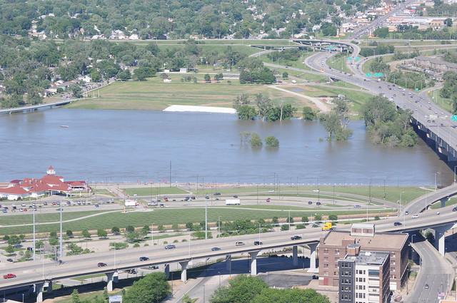
Friday, June 24, 2011
June 24th
 |
| From pedestrian bridge looking South. |
 |
| Looking East from below bridge. |
 |
| Looking North from bridge. |
 |
| "Stable water levels have assured communities along the river..." |
 |
| The Bob |
 |
| The water is levee to levee. |
 |
 |
| Almost under. |
 |
| Enlarge and you can see Gallup's new retaining wall. |
 |
| You're not going to eat that are you? |
Wednesday, June 22, 2011


Monday, June 20, 2011
June 20, 2011 from Gallup
 |
| Pana from Gallup's roof. |
 |
| River water approaching trail between Miller's Landing and Gallup. |
 |
| Gallup's "Pier" |
 |
| The Pier with "the bob" in the background. |
 |
| Old deck/dock that we're betting doesn't make the summer. |
 |
| Looking North-East from Gallup's roof. |
Thursday, June 16, 2011
Wednesday, June 15, 2011


Subscribe to:
Posts (Atom)